Shmorat Hamasrek
Hiking
The Route:
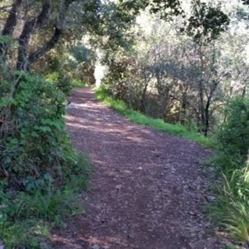
The walking path begins with a clear path towards HaMasrek Reserve known as the Mishlet 17. There are several circular paths that pass through the woods, all reaching a clearing where there is an ancient building. Along the route, there are marked vantage points and benches for resting.
Mishlet 17 was one of the peaks of the ridges that were marked in consecutive numbers by the Palmach fighters and were used during the fierce battles of the War of Independence in an attempt to seize control of the ridge that controls the road to Jerusalem. This enables you to understand how easy it was for the Arabs of the area to hit the convoys that passed through the narrow wadi on the road to Jerusalem.
From Mishlet 17 or "HaMasrek" in which the Arab village of Bayt Mahsir was located, it was captured by the Palmach Harel Brigade in Operation Maccabi.
The description of the battles appears on the sign posted in the reserve.
In Haim Guri's poem "Bab al-Wad" he refers to the ravine overlooking the peaks of the ridges and the fortresses.
How to get there?
With WAZE, write Beit Meir, before the entrance to the moshav turn right according to the signs for the Sorek Reserve. For those coming from the center you drive on Highway 1 - Tel Aviv - Jerusalem, at the Shoeva junction turn right and continue southward, past Shoresh and drive towards Moshav Beit Meir, Before entering the moshav turn right with the signs to "Hamasrek Reserve", about 500 meters later arrive at the parking lot at the foot of the reserve.
- Type
- Hiking
- Region
- Judea and Samaria
- Near to
- Beit Shemesh
- Length
- About an hour
- Duration
- About 1 km
- Recommended season
- Spring, Summer, Autumn, Winter
- Difficulty level
- Easy
- Starting point
- Parking on the reservation (map)
- Ending point
- Parking on the reservation (map)
- Special equipment
- Walking shoes, hat, water, sunscreen
- Parking
- Free Parking
- Circular
- Circular
- Drinkable water
- Drinkable water
- Suitable for children
- Suitable for children
- Picnic suitable
- Picnic suitable
Similar trails


A new light shines in the Stalactite Cave


Nearby attractions


Nearby restaurants


Mcdonalds- Shoresh Junction, Shoeva


Aroma Shimshon Junction

